
Cycling in Langley
Langley's cycling network includes greenways, protected bike lanes, multi-use paths, and shared routes throughout the Township and City of Langley. From the scenic Fort-to-Fort Trail along the Fraser River to urban cycling infrastructure in Willoughby and Walnut Grove, this interactive map and resources help you explore current cycling facilities and understand opportunities for building a more connected, cycling-friendly community.
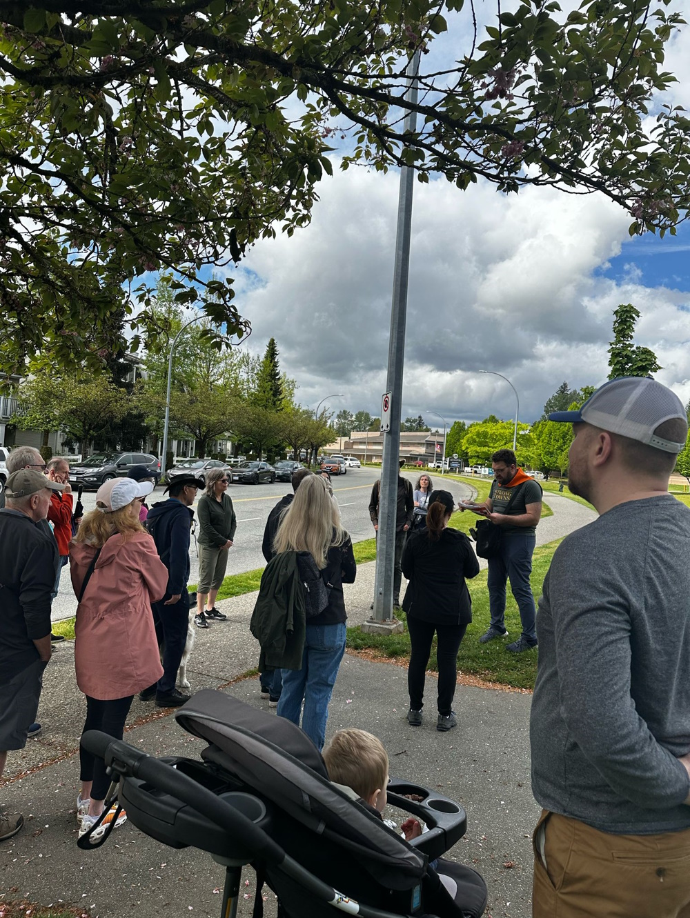
Join HUB Cycling Langley
HUB Cycling's Langley Committee advocates for better cycling infrastructure and meets monthly. They organize bike-to-school weeks, popup events, and successful campaigns, recently having safe passing distance signs installed.
Learn MoreEliminate Maze Gates Campaign
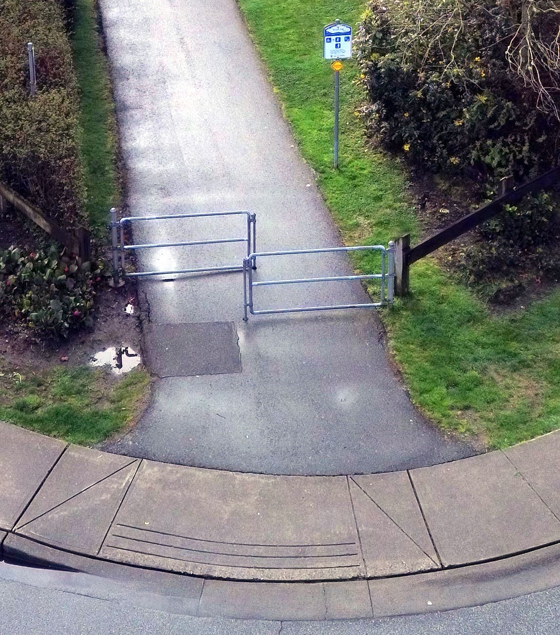
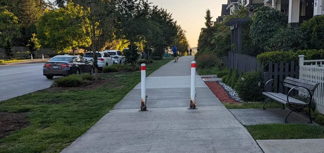
Maze gates force cyclists to dismount and navigate awkward obstacles, making cycling less convenient and potentially unsafe. These barriers discriminate against people with mobility devices, cargo bikes, and families.
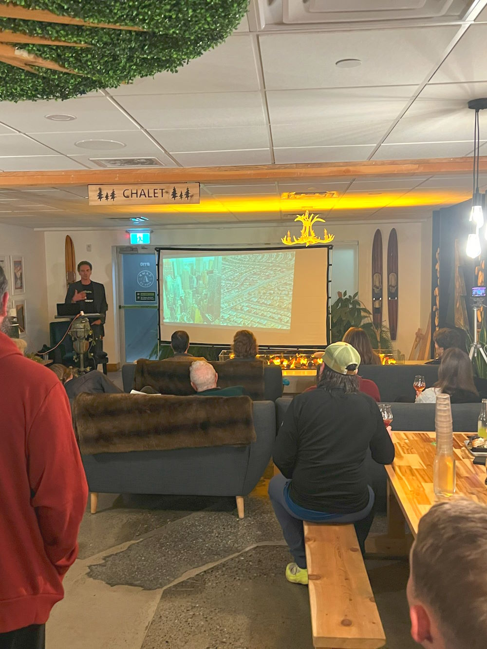
Can Langley Become a Cycling City?
Read our in-depth analysis of Langley's cycling infrastructure, from protected bike lanes to greenways, and what it would take to become a truly cycling-friendly community.
Read the Full Article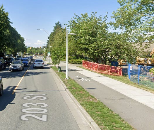
Loading video playlist...
Langley Cycling Network Map
Map Legend
Ungap the Map!
Key cycling connections are missing throughout Langley, creating gaps that force cyclists onto busy roads or prevent trips altogether. These gaps are shown in red dashed lines on the map above.
Gap Analysis Credits: Special thanks to Gaith Sarhan, HUB Cycling, and other cycling advocates who have identified these critical missing links in our network.
Cycling Infrastructure in Langley
Langley is taking different approaches to cycling infrastructure across its communities, each with unique characteristics and design philosophies:
Walnut Grove: Greenway Network
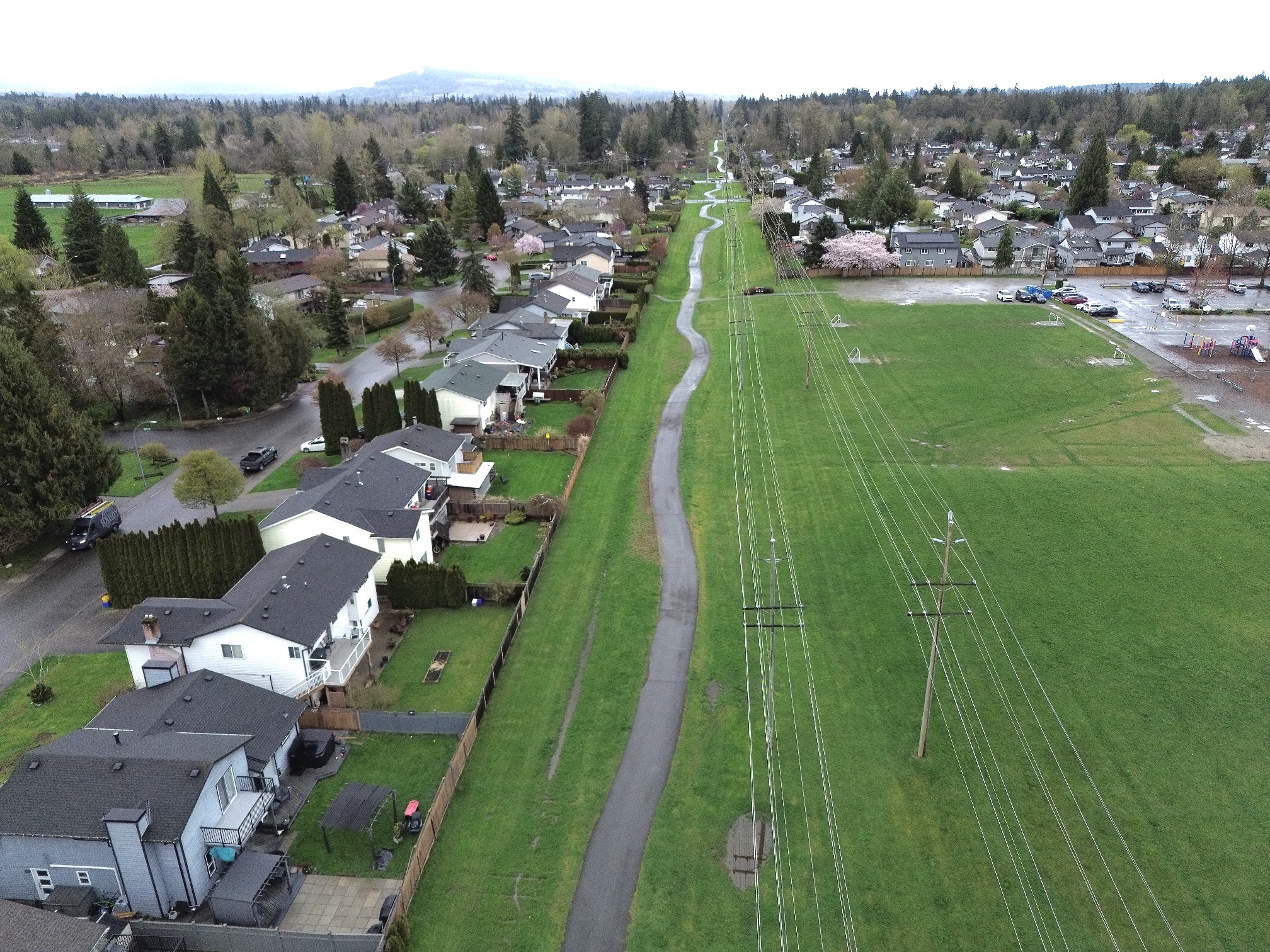
Walnut Grove features dedicated greenways that provide cycling routes away from roads, including the Langley Lane Greenway (under power lines) and North Langley Greenway (following the Trans-Mountain pipeline). These quiet routes offer a more pleasant cycling experience separated from traffic noise and exhaust.
Willoughby: Multi-Use Paths
Willoughby focuses on multi-use paths along major roads, providing shared space for cyclists and pedestrians. While these paths run alongside traffic, they offer protected access to key destinations and shopping areas throughout the community.
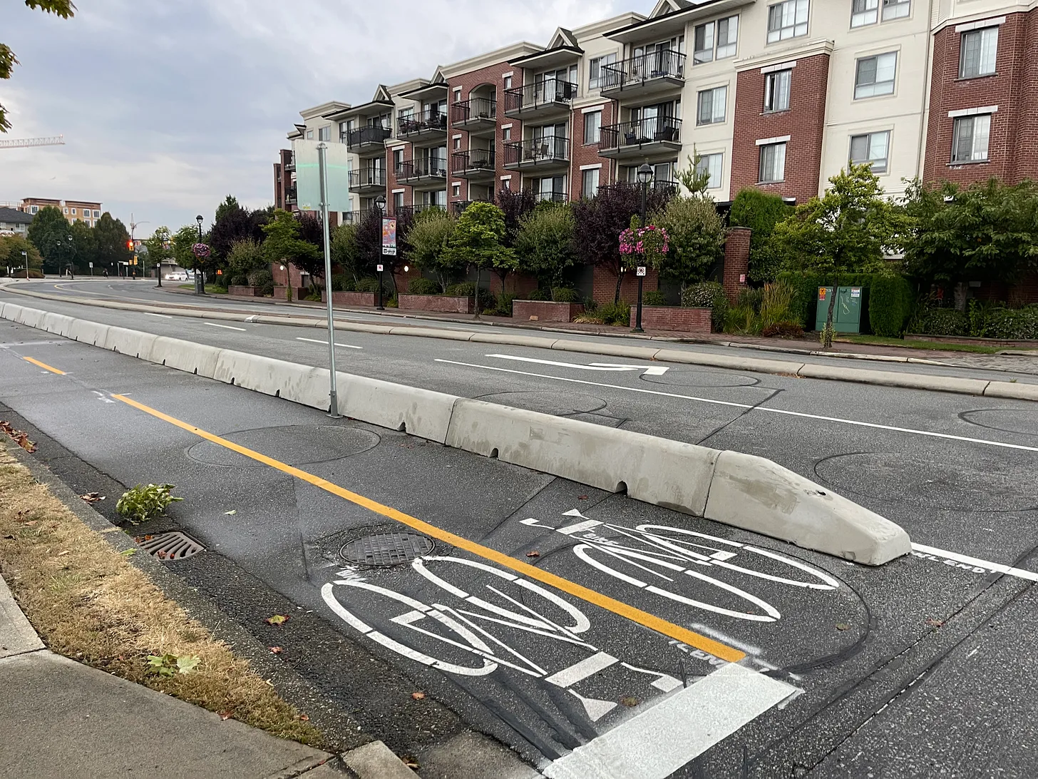
Langley City: Retrofits and Upgrades
Langley City has been proactive in upgrading existing streets with protected cycling infrastructure. Douglas Crescent (shown) had a travel lane removed and replaced with a two-way bike path, while 203 Street features multi-use paths providing safer cycling access.
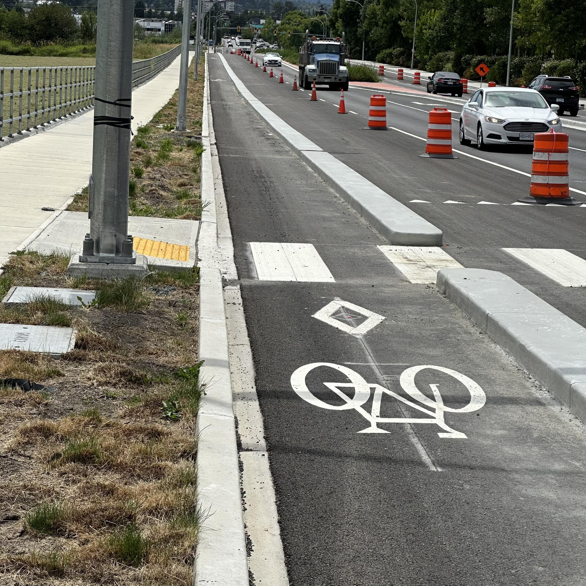
Future Projects: Protected Lanes
New developments and road projects increasingly include protected bike lanes as standard infrastructure. Examples include the recently completed protected lanes on the Willowbrook Connector, 80 Avenue redesign between 204-212 Street and planned treatments for sections of 208 Street in Willoughby.
Fort-to-Fort Trail
Arbour Ribbon Trail
Current Infrastructure & Challenges
Current Infrastructure Types
Langley's cycling network includes various facility types designed for different users and contexts:
- Dedicated Cycle Tracks: Separated pathways for bicycle use only, such as parts of the Trans Canada Trail.
- Protected Bike Lanes: On-road bike lanes with physical separation from traffic, like Glover Road in Langley City.
- Multi-Use Trails: Shared pathways for cyclists, pedestrians, and other non-motorized users.
- Greenways: Off-road routes that follow utility corridors, providing quiet cycling experiences away from traffic.
- Shared Bicycle Routes: Roads designated as preferred cycling routes with signage and sometimes "sharrows".
Current Challenges
- Disconnected Network: Gaps in the cycling network make continuous travel difficult in some areas.
- High-Speed Roads: Many major roads have high speed limits and heavy traffic, creating barriers for cyclists.
- Limited Protected Infrastructure: Many routes still require sharing space with motor vehicles.
- Suburban Development Patterns: Long distances between destinations and curvilinear street patterns can make cycling less convenient.
- Highway and Railway Crossings: Limited safe crossings of major infrastructure create barriers.
- Inconsistent Design Standards: Different approaches across jurisdictions can create confusing transitions.
Strong Towns Perspective
From a Strong Towns perspective, effective cycling infrastructure should:
- Create a Connected Network: Individual facilities should connect to form a comprehensive system
- Serve Actual Destinations: Routes should connect where people need to go
- Accommodate All Abilities: Design for people of all ages and cycling experience levels
- Complement Land Use: Work best with mixed-use, compact development patterns
Cycling Resources
Official Maps & Plans
- Township of Langley Cycling Maps
- City of Langley Cycling Resources
- TransLink Regional Cycling Maps
- Let's Go Biking Routes (Langley-specific routes)
Local Organizations
Events in Langley
- Langley Bike to Work/School Week - Annual event every May/June
- Fort Langley Ride - Community rides through the historic village
- HUB Cycling Courses - Regular cycling education workshops
- Langley Bike Fest - Annual celebration of cycling (summer)