Interactive Map
About the Map
Purpose
The "Where Can We Build" map highlights areas where development is restricted or limited in Langley and surrounding regions. It shows:
- Red: Areas outside the Metro Vancouver Urban Containment Boundary
- Green: Agricultural Land Reserve
- Dark Green: Crown Land
How to Use This Map
The non-coloured areas on the map represent locations where development may be permitted, subject to local regulations and environmental considerations.
Click on the "?" icons in the legend to learn more about each restriction type, including the governing bodies and limitations on development.
Data Sources
This map combines data from multiple official sources:
- Crown Land data: Crown Land Map (special thanks to Matthieu Hughes for sharing his dataset)
- Urban Containment Boundary: Metro Vancouver Regional District Open Data Portal
- Agricultural Land Reserve boundaries: BC Agricultural Land Commission
Related Videos
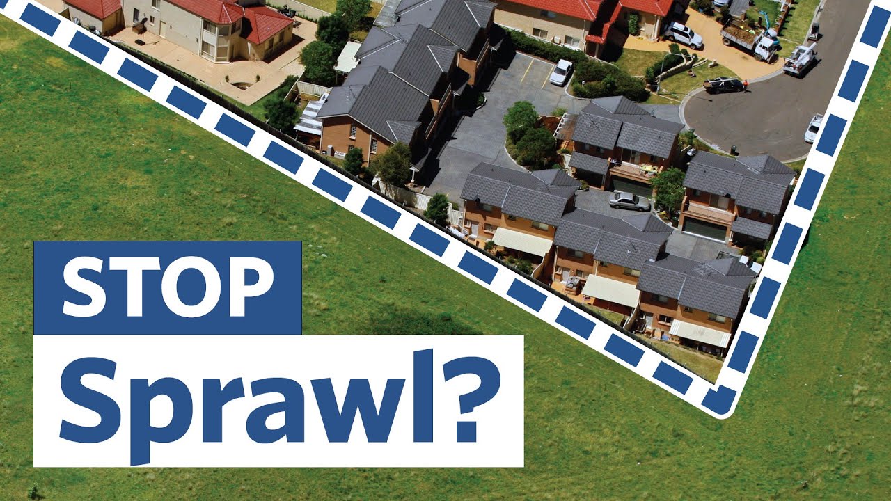
Urban Growth Boundaries: Effective or Worthless?
— City Beautiful
Cities can use urban growth boundaries to keep urban development compact, while protecting farm and forest land outside. But do they raise housing prices? And do they stop sprawl at all?
Hard Green Belts Have Failed
— Paige Saunders
Paige Saunders believes that greenbelts have caused more problems than they have solved, and advocates for unlocking the perimeter for transit first development.
