


Interactive Value-per-Acre Map
About the Map
Data Sources
- 2024 Property Assessments (TOL Open Data Portal and TOL GeoSource / ArcGIS), TOL Parcel Data and Tax Rates.
This map was created using our custom Value-per-Acre mapping tool.
What is Value-per-Acre?
Value-per-acre is a metric that measures the economic productivity of land by dividing the assessed value of a property by its size in acres. This reveals which development patterns generate the most value for the community.
Why It Matters
Value-per-acre helps us understand:
- Which areas generate sufficient tax revenue to pay for their infrastructure
- How different development patterns affect municipal finances
- Where investments in public infrastructure generate the highest returns
- Which neighbourhoods are financially sustainable in the long term
Strong Towns Connection
This analysis is a core Strong Towns concept. Traditional, walkable development patterns typically generate 3-8 times more value per acre than suburban, car-dependent development, while requiring less infrastructure to service.
Related Videos
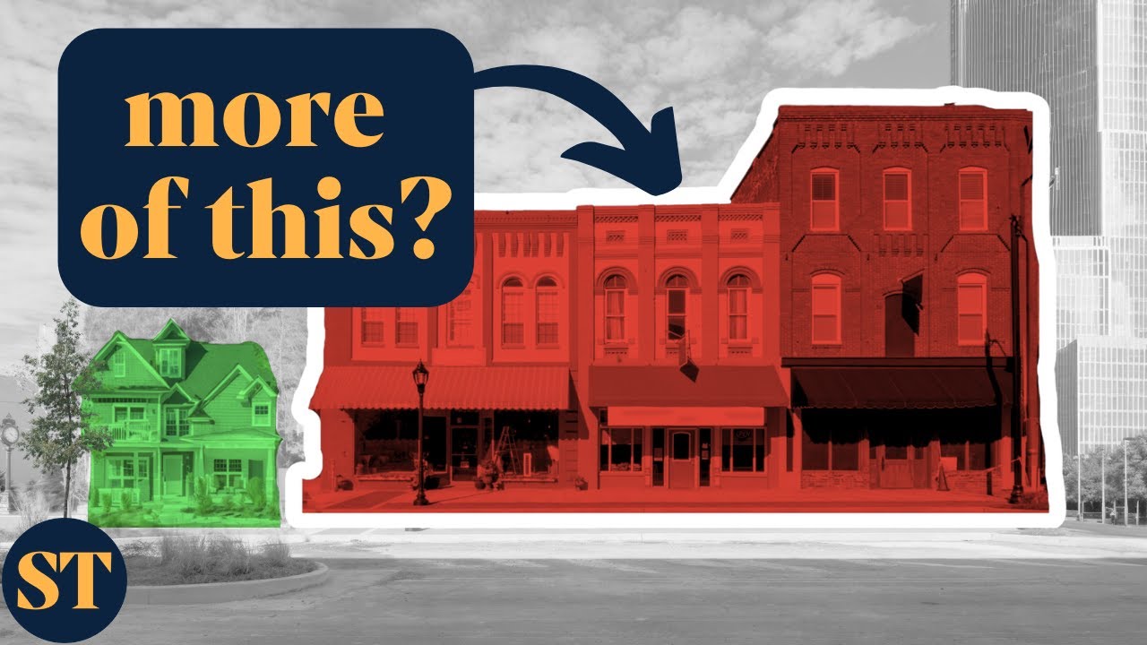
It's Time To Rethink How We Measure Cities. We Can't Afford Not To.
— Strong Towns
A great introduction to Value-per-Acre, featuring Joe Minicozzi from Urban3.
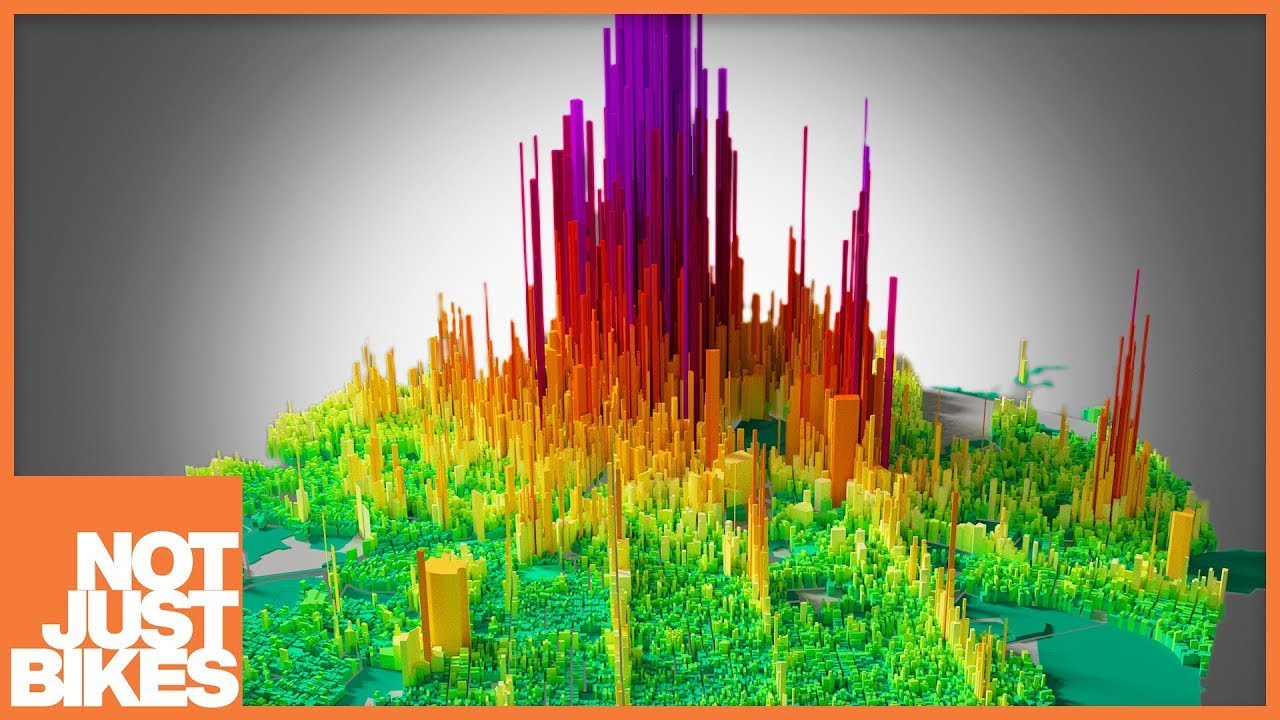
Suburbia is Subsidized: Here's the Math
— Not Just Bikes
Car-dependent suburbia is subsidized by productive urban places. That's why cities are broke. But how bad is it, and who is subsidizing who?